Make your own LiDAR maps for Gold Prospecting, Treasure Hunting and More!!
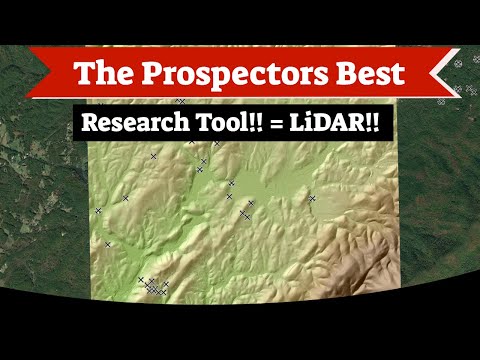
In this video, I teach you how to make lidar maps for gold prospecting, metal detecting, archeology, and more from free programs and free data that is available online. Lidar is an incredibly powerful tool that lets you see the bare ground surface as if there was no vegetation. With it, you can see the past mining activities such as shafts, adits, pits, trenches, tailing piles, diversions and more!
Qgis downlowd: https://www.qgis.org/en/site/
Saga gis download: https://saga-gis.sourceforge.io/en/index.html
Best site for free lidar data in the US: https://viewer.nationalmap.gov/basic/
Please know that there is more free lidar available out there its just not all located in one place. Some states and countries will have their own separate databases for it.
Take the opportunity to connect and share this video with your friends and family if you find it useful.
No Comments